Navigation powered by artificial intelligence science – beyond what experience can offer.

Unlike on land, the sea is a dynamic, ever-changing environment, which requires the consideration of many variables during maritime navigation.

For this reason, experienced navigation experts are essential.
Seadronix analyzes and quantifies navigation expertise in the form of DATA.

Striving to realize an autonomous navigation and smart-port future through AI technology.

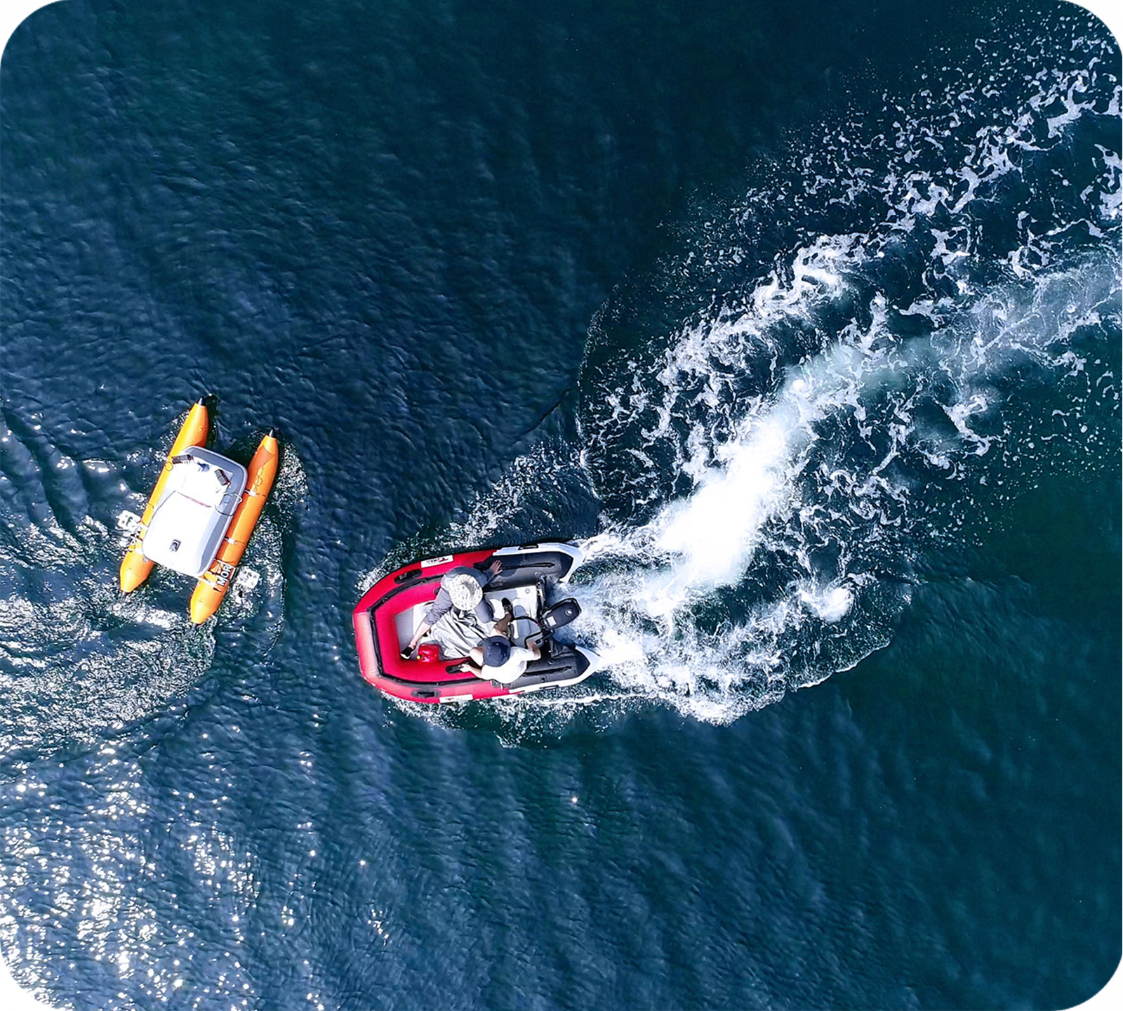
Having the core technologies applied successfully to small autonomous ships in 2018, we are conducting research and development to integrate them into large maritime vessels.

We continuously improve our autonomous ship technologies: location tracking, obstacle recognition, local map formation, and route creation and prediction.

AI

Core Technology

Seadronix’s AI detects and recognizes objects better and more precisely than human eyes.

Seadronix’s specialized maritime environment AI technology recognizes objects on the sea surface, from small buoys to large ships.
The AI has achieved a level of sophistication that allows it to recognize objects as large as overlapping ships to as small as mooring ropes in a cluttered port environment.
The algorithm behind our technology can easily be applied to various industry applications.

The core technology to construct local map

A local map containing accurate surrounding situational information is required for autonomous navigation. This is particularly the case in coastal waters.
Our core technology for constructing a local map is more than simple detection. It is a pixel level analysis, classification, and recognition AI technology. Differently from the open seas, in coastal areas high-precision technology is necessary.

Sensor Fusion

Core Technology

Combining the strengths of different sensors provides optimal results in the often-harsh maritime environment.

Conditions are often poorer in the maritime environment compared to on land, and thus using data acquired from one type of sensor can be inefficient. We overcome this by combining multiple sensor data such as Radar, LiDAR, and vision data to produce optimal results.
We have also developed a sensor fusion technology that allows mapping and modeling even in the featureless maritime environment.

Sensor fusion technology is the key to integration with existing systems.

Various technologies are used during navigation in order to prevent collisions. Rather than relying on emerging sensor technologies, combining them with existing system produce more reliable results.
Our sensor fusion technology uses data gathered by traditional systems and fuse them to derive better results.

Patents

Country # Title Date
KR 10-2604969 Autonomous navigation method using image segmentation 2023-11-20 KR 10-2604408 LiDAR-based map generation method and apparatus thereof 2023-11-16 KR 10-2596388 Method for acquiring movement attributes of moving object and apparatus for performing the same 2023-10-26 US 11776250 Method and device for situation awareness 2023-10-03 KR 10-2566724 Harbor monitoring device and harbor monitoring method 2023-08-09 US 11702175 Method for acquiring object information and apparatus for performing same 2023-07-18 KR 10-2551544 Method for acquiring object information and apparatus for performing the same 2023-06-30 KR 10-2535115 Device and method for monitoring ship and port 2023-05-17 KR 10-2530691 Device and method for monitoring a berthing 2023-05-04 KR 10-2520844 METHOD AND DEVICE FOR MONITORING HARBOR AND SHIP CONSIDERING SEA LEVEL 2023-04-13 KR 10-2501450 DISTANCE MEASUREMENT METHOD AND DISTANCE MEASUREMENT DEVICE USING THE SAME 2023-02-22 US 11514668 Method and device for situation awareness 2022-11-29 KR 10-2466804 Autonomous navigation method using image segmentation 2022-11-09 KR 10-2454878 Method for acquiring movement attributes of moving object and apparatus for performing the same 2022-10-11 KR 10-2454878 Method for acquiring movement attributes of moving object and apparatus for performing the same 2022-09-30 US 11314990 Method for acquiring object information and apparatus for performing same 2022-04-26 KR 10-2278674 Method and device for monitoring harbor and ship considering sea level 2021-07-12 KR 10-2265980 Device and method for monitoring ship and port 2021-06-10 KR 10-2240839 Autonomous navigation method using image segmentation 2021-04-09 KR 10-2235787 Device and method for monitoring a berthing 2021-03-29 KR 10-2231286 Ship surrounding monitoring device and ship surrounding monitoring method 2021-03-17 US 10803360 SITUATION AWARENESS METHOD AND DEVICE USING IMAGE SEGMENTATION 2020-10-13 KR 10-2144623 Method for acquiring movement attributes of moving object and apparatus for performing the same 2020-08-07 KR 10-2113955 Device and method for monitoring ship and port 2020-05-15 KR 10-2112935 Path planning method using obstacle map 2020-05-13 KR 10-2005560 Method for acquiring object information and apparatus for performing the same 2019-07-24 KR 10-2005559 Situation awareness method using image segmentation 2019-07-24 KR 10-1934368 Autonomous navigation ship controlling apparatus using ensemble artificial neural network combination and method therefor 2018-12-26
error: Content is protected !!